Second day at AGIT 2017
Today, Thursday, was the middle of the three AGIT days. It was just as successful as Wednesday. There was something going on all day.
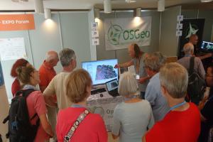
The influx of visitors during the lecture breaks was clearly noticeable, but with the support of Raphael DAS GUPTA from OSM-Switzerland (also present for all three days), it was well managed. Volker Wichmann and Olaf were available as contact persons for the SAGA GIS project. Anita Graser stopped by whenever possible for the QGIS project in the OSGeo area. Markus Schütz was able to present his project Potree for visualising laser scan data. Emmanuel Belo provided information about geOrchestra.
[caption id=“attachment_265” align=“alignnone” width=“5333”]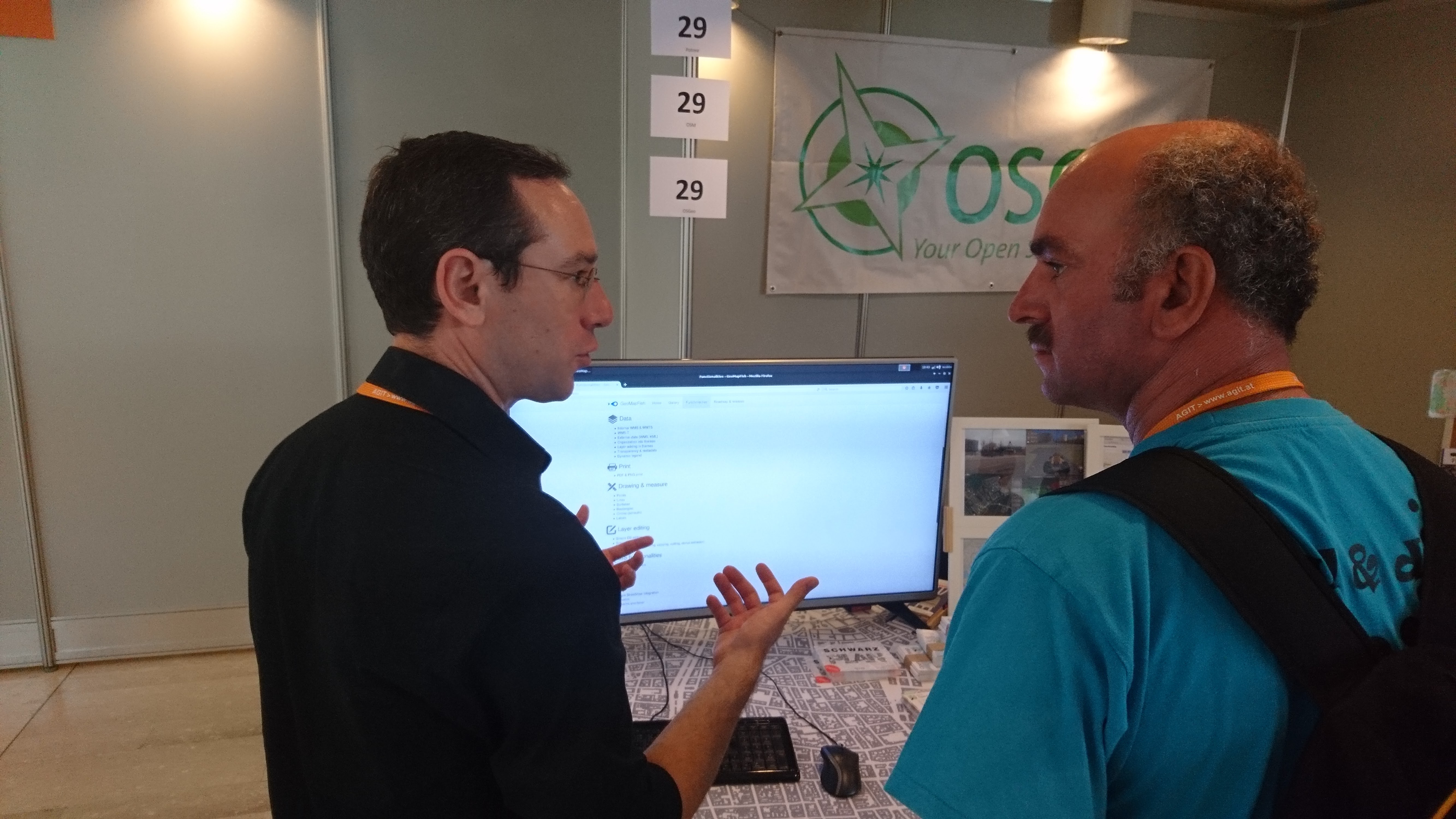 Emmanuel Belo from Camp2Camp presents GeoMapFish[/caption]
A group of senior citizens from the Uni 55-Plus Salzburg were scheduled to visit at lunchtime. During this visit, a short introduction to OpenStreetMap and SAGA GIS was given in just over 40 minutes.
Most of the visitors’ questions were of a practical nature. For example, there was a question about possible web map libraries. The differences between OpenLayers and Leaflet were explained. More technically detailed questions were also asked, such as how GeoJSON works and the status of VectorTiles. In fact, some visitors were already well informed about VectorTiles. Furthermore, there was a need for information about the possibility of using QGIS to create high-resolution WMTS exports of an OSM background map and whether HIDPI tiles would be suitable for this. The styling of map data in QGIS to make it look like it is rendered by OSM-Mapnik was also requested, as was the status of elevation information in OSM. A few visitors were interested in the procedure for adding new OSM tags.
This list is only a small selection of all the questions asked, to give an overview.
[caption id=“attachment_266” align=“alignnone” width=“5333”]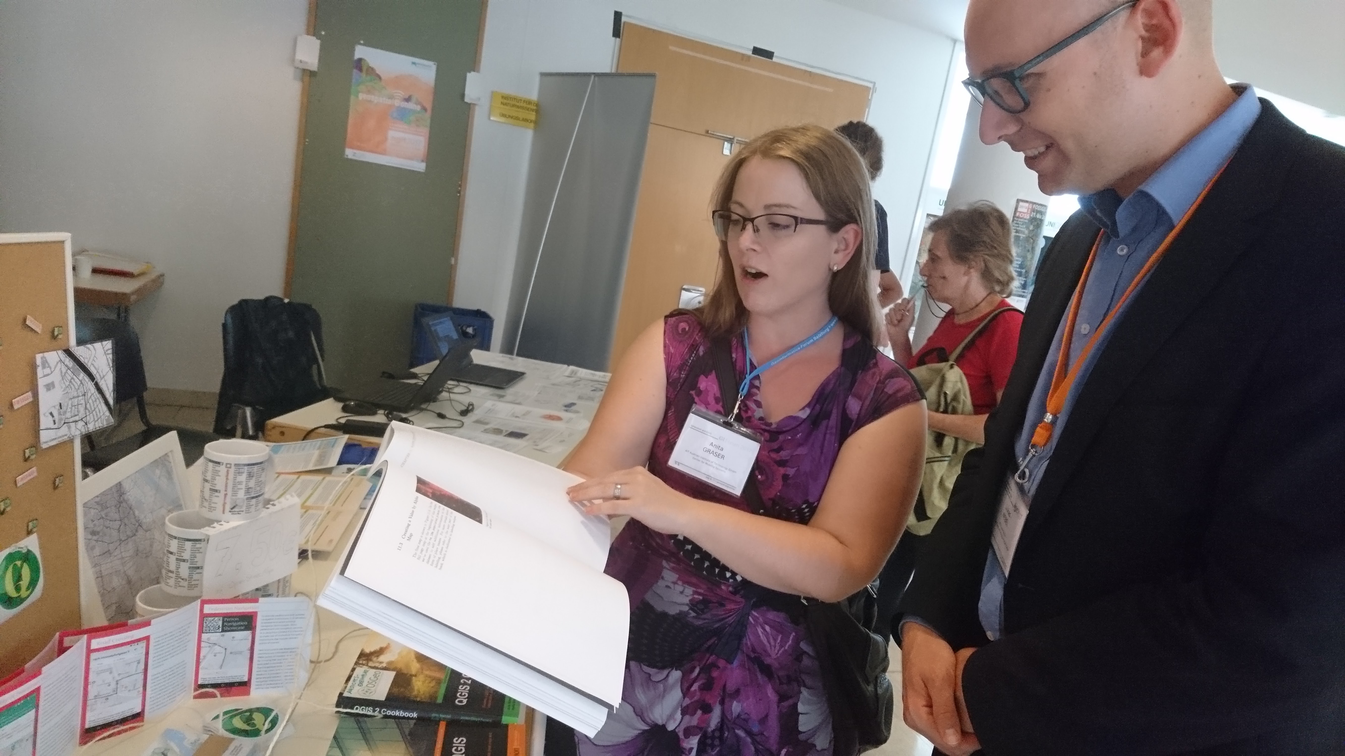 Anita Graser presents one of her books at AGIT 2017[/caption]
The exact number of sales today is not available at the moment, but it is similar to the number from the previous day. The stock of OSM mugs had already shrunk considerably.
Unfortunately, the Wi-Fi connection had to be re-established about every half hour, which was disruptive for the continuous operation of the Show Me the Way page on the flat screen. Possibly a stable LAN connection could be organised for next year, because otherwise the Wi-Fi sometimes failed exactly at the moments of the breaks when most visitors were visiting the OSGeo area.
The location opposite the coffee machines also proved to be advantageous today.
[caption id=“attachment_267” align=“alignnone” width=“5333”] The view of the coffee machines from the OSGeo area[/caption]
In general, it seems that many visualisation options for point clouds from LIDAR scans are being presented at AGIT this year. It’s great that Markus Schütz’s Potree is also an open solution in the OSGeo area.
[caption id=“attachment_268” align=“alignnone” width=“5333”]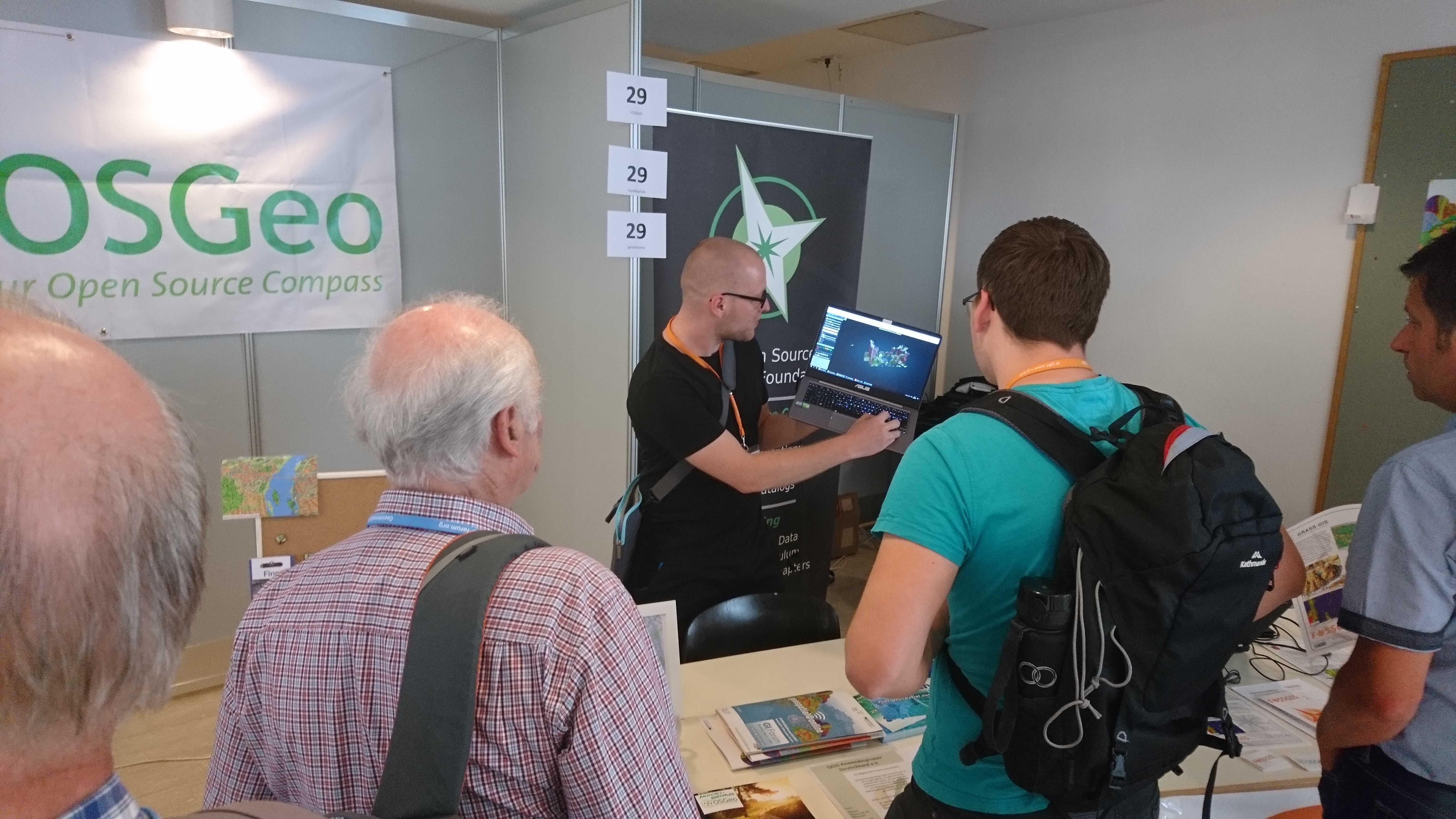 Markus Schütz presents his Potree project[/caption]