AGIT 2018: Day 3
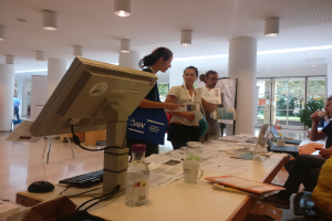
This was the third day!
The big rush is over, but we were still able to advise some visitors on OpenStreetMap and FOSSGIS. It was interesting to hear about all the places where open-source GIS software is already in use, without the respective organisations making a big deal about it. ;-)
[caption id=“attachment_608” align=“alignnone” width=“1024”]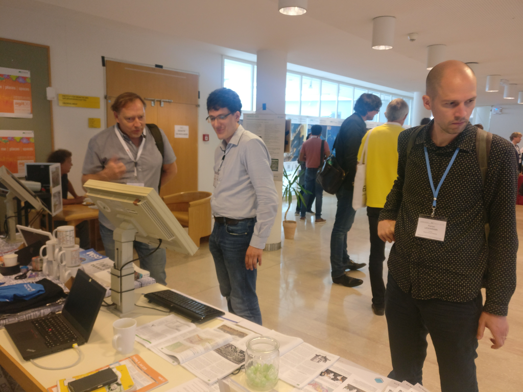 Interesting talks with visitors[/caption]
At around noon, most of the other exhibitors were already starting to pack up their exhibition stands. We needed a little longer because there were still questions from visitors.
[caption id=“attachment_611” align=“alignnone” width=“1024”]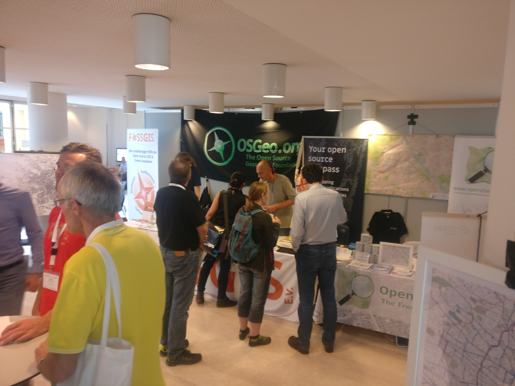 Visitors continue to come to our stand[/caption]
Nevertheless, in the end it went very quickly and the OpenStreetMap and FOSSGIS areas were dismantled by 2:00 p.m. Thanks to geologist’s car, the OpenStreetMap exhibition materials will soon be back on their way to Vienna, while the FOSSGIS and OSGeo materials will travel with WhereGroup to INTERGEO.
[caption id=“attachment_613” align=“alignnone” width=“1024”]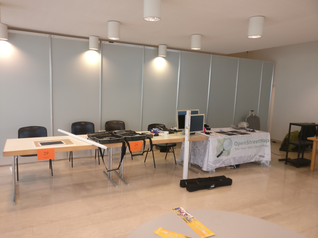 FOSSGIS stand and part of the OSM stand have already been dismantled.[/caption]
[caption id=“attachment_614” align=“alignnone” width=“1024”]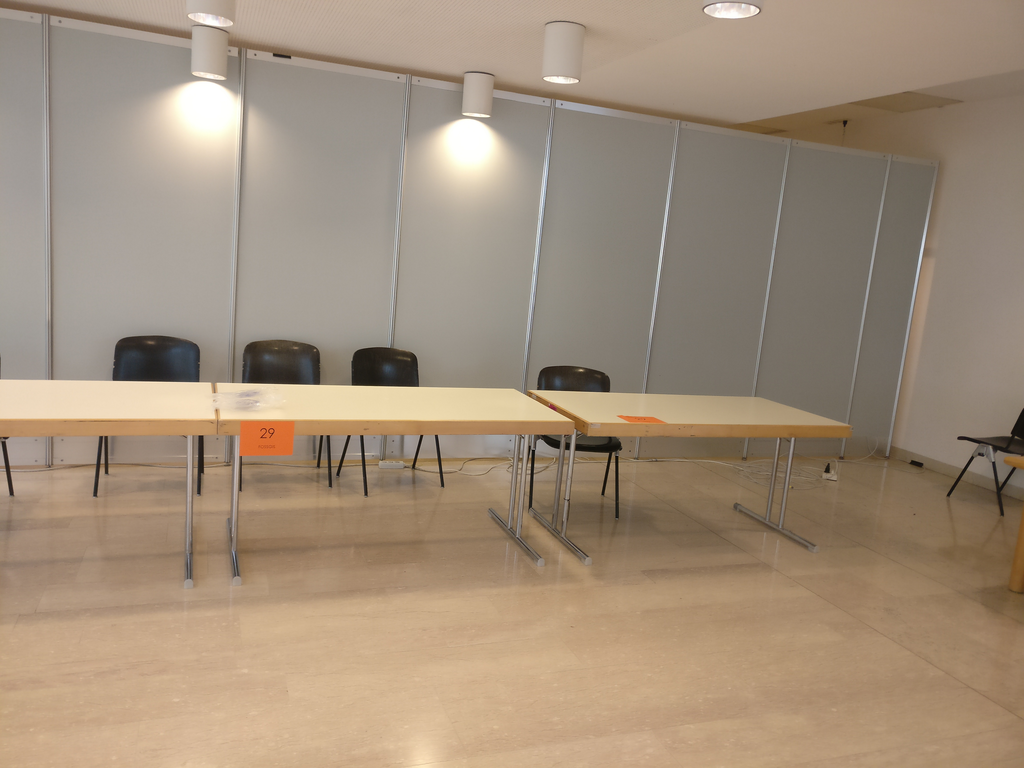 Done, everything dismantled….[/caption]
[caption id=“attachment_615” align=“alignnone” width=“1024”]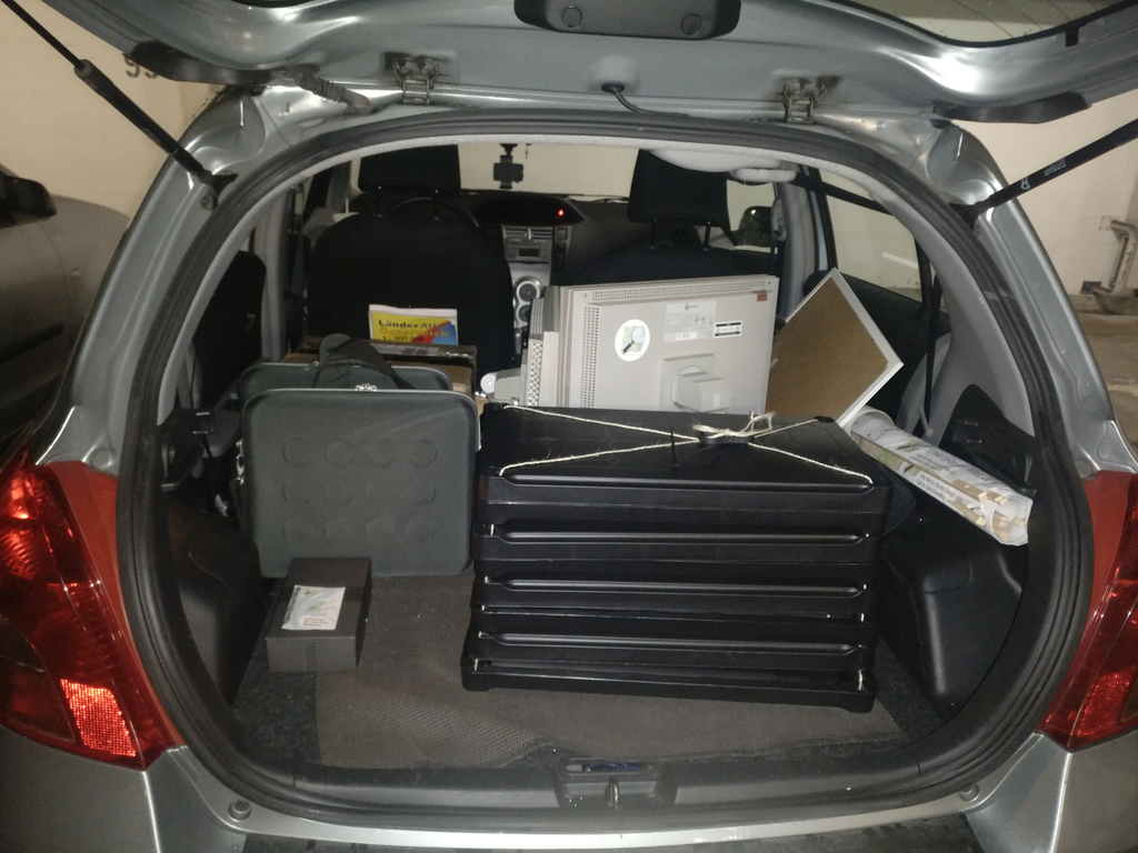 … and stored in the car.[/caption]
As always, AGIT was a thrilling event!
