OSM-AT at the GI_Salzburg_22
From July 6th to July 7th, 2022, the successor to AGIT, the GI_Salzburg, took place in Salzburg. We, the OSM-AT association, were there to present the OpenStreetMap project, the FOSSGIS association and OSGeo.
Travel and setup
The journey began on Tuesday, July 6, 2022. Since we have quite a bit of trade fair material and FOSSGIS e.V. had sent us banners, advertising material, and stickers with FOSSGIS and OSGeo-specific material by post, mapper geologist volunteered to drive and drove to Salzburg together with mapper ScubbX.
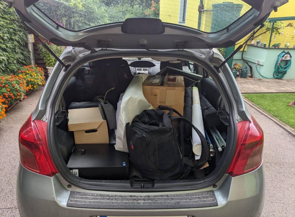
The not even fully packed car
We were greeted by mapper bearT and negreheb shortly after our arrival, and we immediately started setting up our stand. We quickly came up with an optimal arrangement for the three tables provided by the organizers. We were even able to incorporate the column directly in front of the stand into the stand set-up by surrounding it on three sides with OSM rollups and printed maps. After about three hours we were done. Unfortunately, one of the laptops we brought with us immediately broke down, which prompted us to go through our trade fair material from a technical point of view and possibly update it (donations are welcome ;-) ). Nevertheless, we had 2 OSGeo live workstations with monitor, keyboard and mouse and a projector (provided privately by a mapper) that was fed by a single-board computer (an ODROID XU4), showing the impressive Show-Me-The-Way OSM visualization.
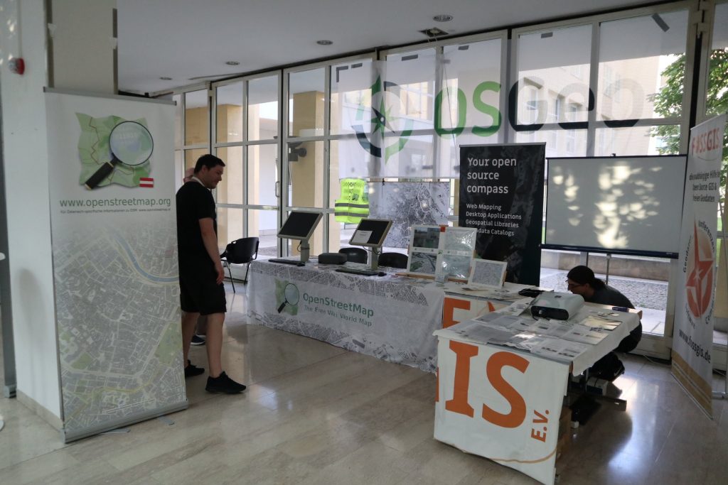
Our booth, almost ready
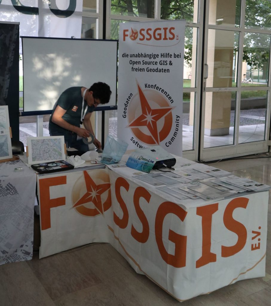
We pulled the FOSSGIS banner around three table edges
In the evening, an icebreaker event took place, in which we were allowed to participate and get to know some of the conference participants.
First day of the conference
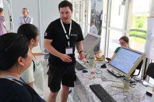
On the first day of the conference, there was already a gratifyingly large influx of visitors. The workstations were always fully occupied. From Wednesday, Jakob, a former member of the OSM-AT association, joined us at the booth as a fifth helper.
In the evening, the trade fair took on a different character, with pre-ordered rolls and drinks being served at many booths. We had come up with something special for this occasion: homemade Earth Observation cookies!
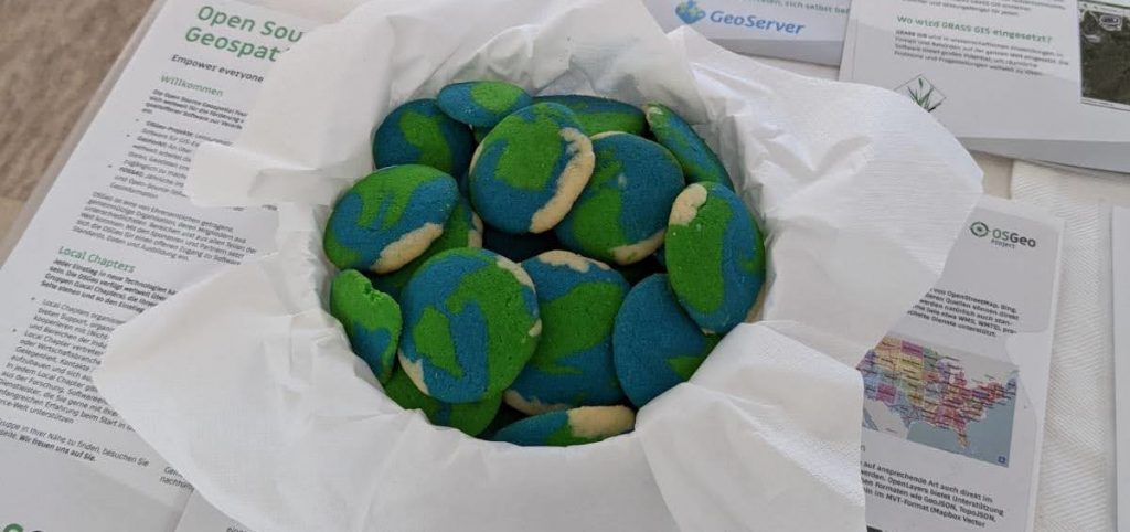
The Earth-Observation Cookies at our stand (only one of three baskets shown)
The Earth-Observation Cookies were very popular and although a few remained, the amount was very small.
Second day of the fair
The second day of the fair was a bit slower in terms of visitor numbers. This was not unpleasant for us, as it gave us the opportunity to finalize our 75-minute session.
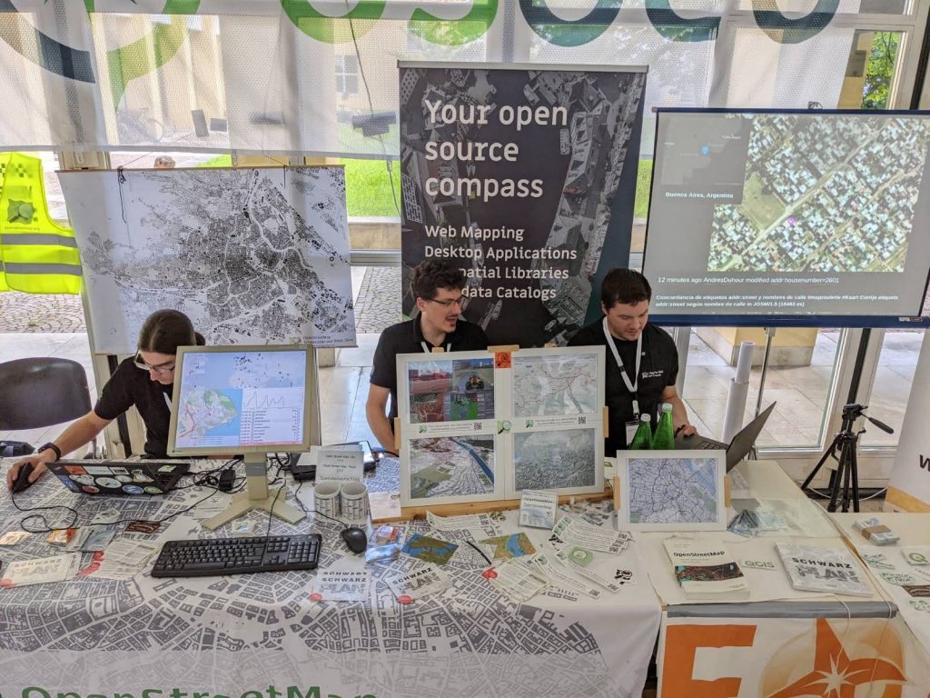
The preparation for our session is in progress…
As content for this session, we had planned a tour of the open-source GIS landscape. Each of us 5 co-exhibitors had an approximately 15-minute block to cover one of the following topics: OpenStreetMap, OGD data sources, GIS file formats, server applications, desktop GIS
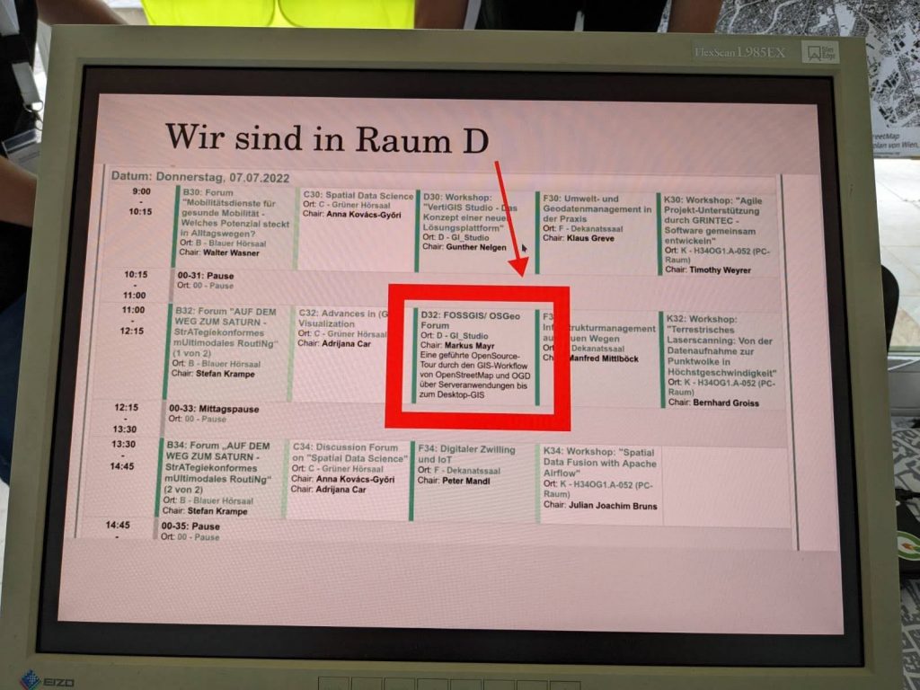
The announcement of our own session
The lecture room reminded me immediately of a TedX stage, as it was a fully equipped studio.
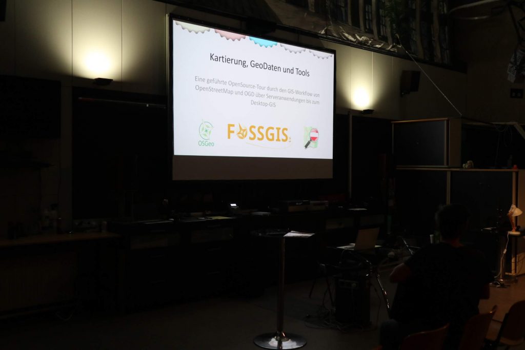
Our presentation is waiting to start
The lecture was well attended, with an estimated 70% of the seats filled. As is usually the case with lectures, we ran out of time, we had much more to say than was possible. Nevertheless, we only managed to exceed the time limit by 3 minutes, unfortunately at the expense of a final round of questions and some interesting details that we were no longer able to show. Instead, we pointed out that we could be contacted at our booth at any time. As a special extra, we recorded our presentation on camera. (As soon as this recording is finished, we will announce it in a separate post.) The slides from the presentation are already available at https://www.openstreetmap.at/2022/07/vortrag-der-gi_salzburg_22/, the video can be viewed on Youtube at https://youtu.be/ZzwAXZqQL94.
It is particularly noteworthy that we pointed out the incompatibility of CC-BY 4.0 and ODbL (see [OSMF blog post](https://blog.openstreetmap. org/2017/03/18/benutzung-von-cc-by-4-0-daten-in-openstreetmap/?lang=de)), whereupon we were immediately approached by the OpenData managers of the City of Vienna, who were extremely interested in solving any problems between the two licenses.
After our session, we continued to man the stand, and some people who had become aware of us because of our talk also came.
We started dismantling towards the end of the last conference talk session. When we noticed that the other booths were starting to be dismantled, we didn’t hold back either and started cleaning up. With 5 booth attendants, this was done extremely quickly and after about an hour, you couldn’t see anything where there had been booths before
Our booth, dismantled again
Finale
It was a very exciting and thrilling GI_Salzburg_22. We enjoyed being part of it very much. It felt like the event benefited from being “only” over two days - that way the experiences remained crisp and interesting.
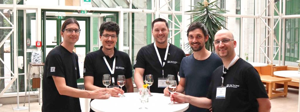
The OSM/FOSSGIS/OSGeo team of GI_Salzburg_22: bearT, ScubbX, negreheb, Jakob and geologist