
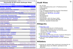
OGD Wikimedia OpenStreetMap Checker
I wrote a small tool that helps to synchronize OGD data sets with Wikimedia (Wikipedia, Wikimedia Commons, Wikidata) and OpenStreetMap. It can be found on this server: https://www.openstreetmap.at/checker.
Since the tool is not entirely self-explanatory, I made a small explanatory video:
https://www.youtube.com/watch?v=e9Is-3ssA7U
The source code can be found on Github. I welcome comments, ideas and code contributions!
Update: Meanwhile, there is a second screencast for this program, this time it is about how to install the checker yourself and how to expand it with additional data sets: